PRICE
$11500

Signup for our newsletter to get notified about sales and new products.
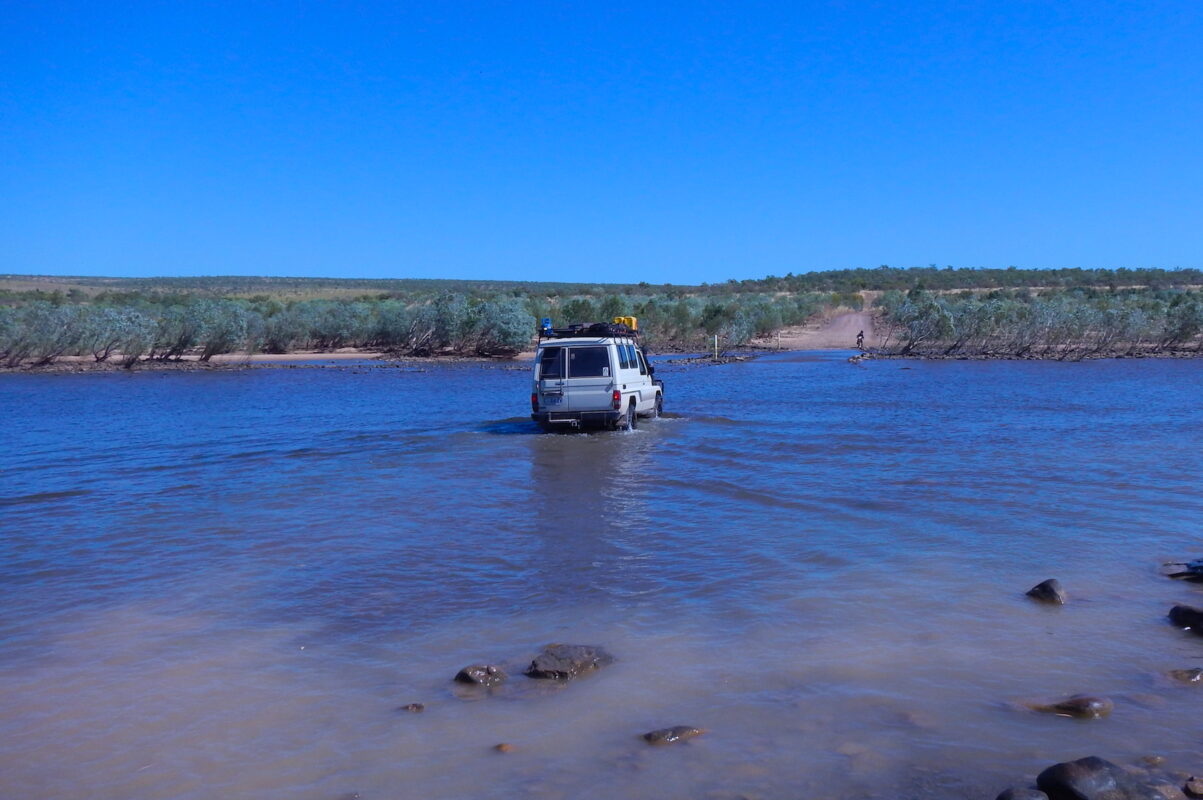
Cross three iconic deserts—Gibson, Great Sandy and Little Sandy—on a remote 4WD adventure through Western Australia. Drive for days without seeing another vehicle, explore vast landscapes and experience the thrill of sand driving. Perfect for lovers of the great outdoors and true off-road exploration.
If you want to experience the remote Western Deserts of Australia, this is the trip for you. From Darwin to Alice Springs, this journey will keep you on the edge of your seat. Make sure to bring plenty of memory cards for your camera as most people end up buying more along the way. The scenery is some of the best Australia has to offer and the off-road driving is second to none.
We cross the Great Sandy Desert, Little Sandy Desert and the Gibson Desert on this 58-day expedition. No other 4WD tag-along tour company offers a trip like this. If you love the Australian great outdoors and enjoy sand driving then this is the one.
PRICE
$11500
DURATION
58 Days
DISTANCE
8570 km
START LOCATION
Darwin, NT
PERCENTAGE OF BITUMEN / DIRT: 10/90
AVERAGE DISTANCE PER DAY: 260km
GROUP SIZE: 6-10 vehicles
GLAMPING OPTIONS: 26 out of 58 days
TOUR START LOCATION: Darwin, NT
TOUR FINISH LOCATION: Alice Springs, NT
ACCOMMODATION: Bush camp & Campground
TOUR GRADE: Medium. NO Trailers.
154km (C)
After a morning briefing in Darwin, we hit the dirt roads bound for Litchfield National Park. The gnarly track winds through stunning country to the picturesque Tjaynera Falls, also known as Sandy Creek Falls. We arrive just after lunch with plenty of time to set up camp and enjoy a swim.
143km (B)
We follow the Reynolds River south, where the track becomes more adventurous with several creek crossings and technical sections that put your driving to the test. A swim at Surprise Creek Falls offers a refreshing break before lunch. In the afternoon, we exit the park and travel east through historic goldfields, reaching our overnight camp at Grove Hill.
345km (C D R)
We track alongside the legendary Ghan Railway before joining the Stuart Highway. This is our last major town for a while, so we stock up at the supermarket and top up the tanks.
151km (B)
An early start rewards us with sunrise views on the escarpment walk. We visit Bullita Homestead in Judbarra / Gregory National Park then settle into our bush camp at Fig Tree Yard.
189km (C)
It’s a full day of tight 4WD tracks with rocky, sandy and muddy terrain plus plenty of river crossings. We often catch barra at lunch, so expect fresh fish on the BBQ. After lunch, we continue south on some of the NT’s best tracks before camping at Kalkarinji.
370km (B)
We refuel and resupply at the Kalkarinji store before heading west on the Buntine Highway, one of the north’s iconic cattle roads. The drive takes us through vast grasslands and deep into cattle country. We cross into WA and camp by the Nicholson River.
Day 7: Nicholson River to Lake Argyle Village
188km (C M R)
It’s a short day so we leave early to allow time to explore Lake Argyle. There are a few sights en route and a sunset tour on the lake to finish.
173km (C D R)
We head into Kununurra to restock fresh produce and beer. After crossing the mighty Ord River, we travel west on the blacktop before hitting the Gibb River Road. A short stretch on corrugations brings us to the famous El Questro Station.
0km (C M R)
Spend the day relaxing or exploring scenic tracks and walking trails. Tours range from helicopter flights to boat cruises.
339km (C M R)
After a sleep-in and breakfast, we dive deeper into the Kimberley. The views are stunning and the river crossings are a blast. We travel the Gibb River Road all day before camping by the Barnett River.
213km (C)
We continue west through the King Leopold Ranges, offering some of WA’s most dramatic scenery. The day ends at Windjana Gorge with bushwalks and tours available.
283km (B)
We head south to Tunnel Creek, where water has carved a tunnel through the rock. If conditions allow, we walk or swim through. After lunch, we follow the Fitzroy River to our bush camp near the barrage.
317km (C)
We pass the ruins of the Camballin Irrigation Project, rejoin the highway and cruise past iconic landmarks. The afternoon brings sandy tracks and serious 4WD action before reaching camp.
133km (C D R)
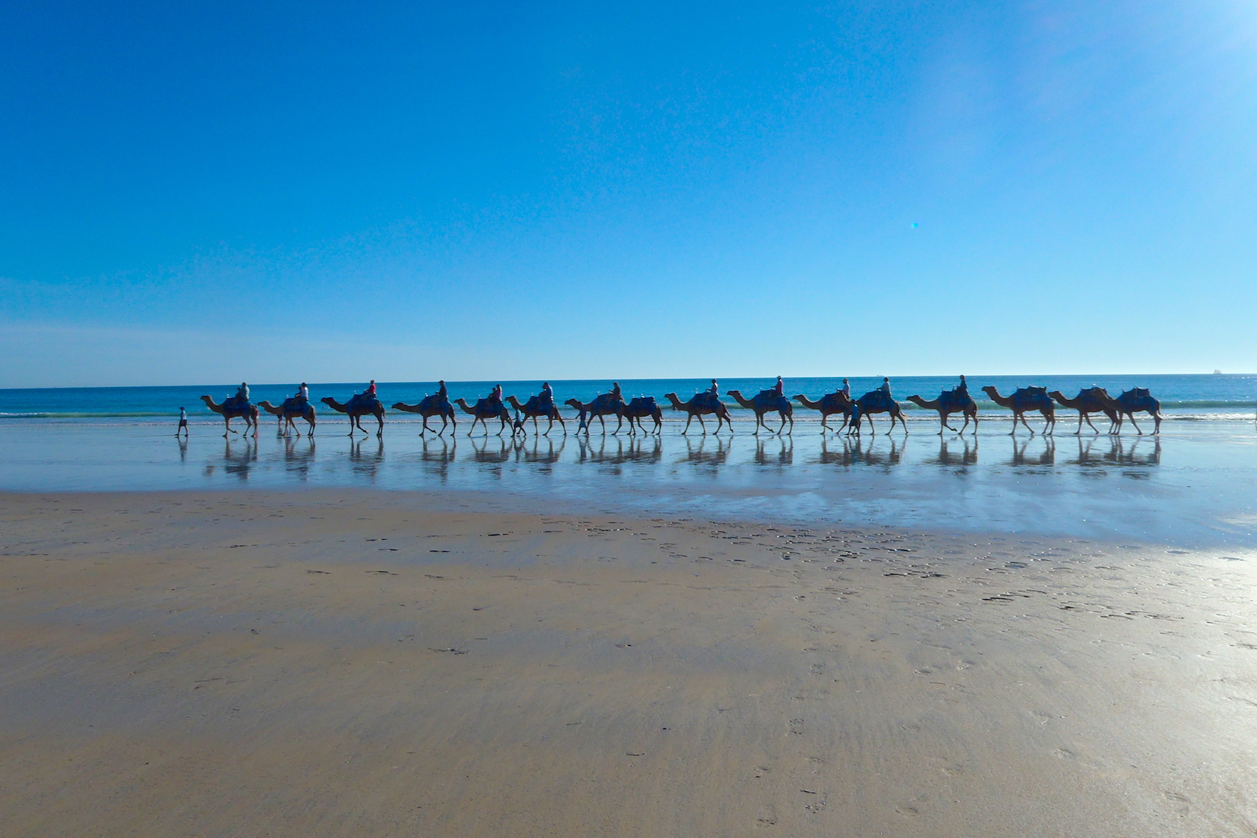
A cruisy final leg into Broome with time for sightseeing and a town tour. We gather for dinner at the historic Roebuck Bay Hotel.
0km (C M R)
Get your four-wheel drive serviced and prepped for the next leg—the demanding Canning Stock Route. While the vehicle’s in the workshop, take the opportunity to explore Broome with one of the many local tours on offer.
0km (C D R)
Time to provision for 21 days in the Outback. We meet for dinner in Chinatown.
291km (B)
Mostly blacktop today, giving us a chance to relax and prepare for the desert crossings.
175km (B)
Today’s route is entirely off-road, with stretches of sandy terrain that give the vehicles a solid workout. It’s a good chance to check everything’s running smoothly before heading deeper into the bush. We wrap up the day at Cherrabun Station, where we generally have a meal around the fire with a chance to swap cooking tips under the stars.
293km (C D R)
We arrive in Halls Creek around midday for last-minute supplies. We stock up on fresh produce and fuel enough for the CSR, then meet for dinner at the Tavern.
152km (B)
A planned short day in case of repairs. We leave around noon and reach Wolfe Creek mid-afternoon, with ample time to set up camp and explore the awe-inspiring crater before the sun begins to dip.
215km (B)
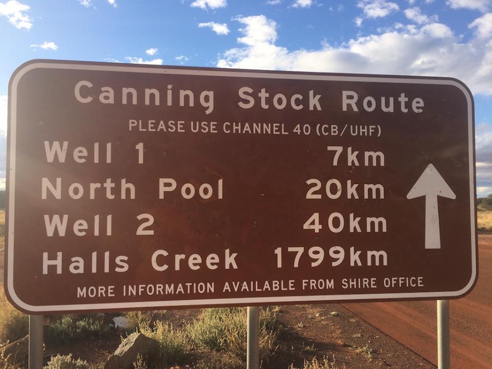
The first day on the Canning Stock Route is relatively unchallenging. We stop at Billiluna Aboriginal Community—your final opportunity for an ice cream for a while—before heading to Well 51. The track narrows and becomes increasingly sandy as we push on. A short detour takes us to Well 50, then we settle into a shaded, wooded spot just before Well 49 to set up camp.
162km (B)
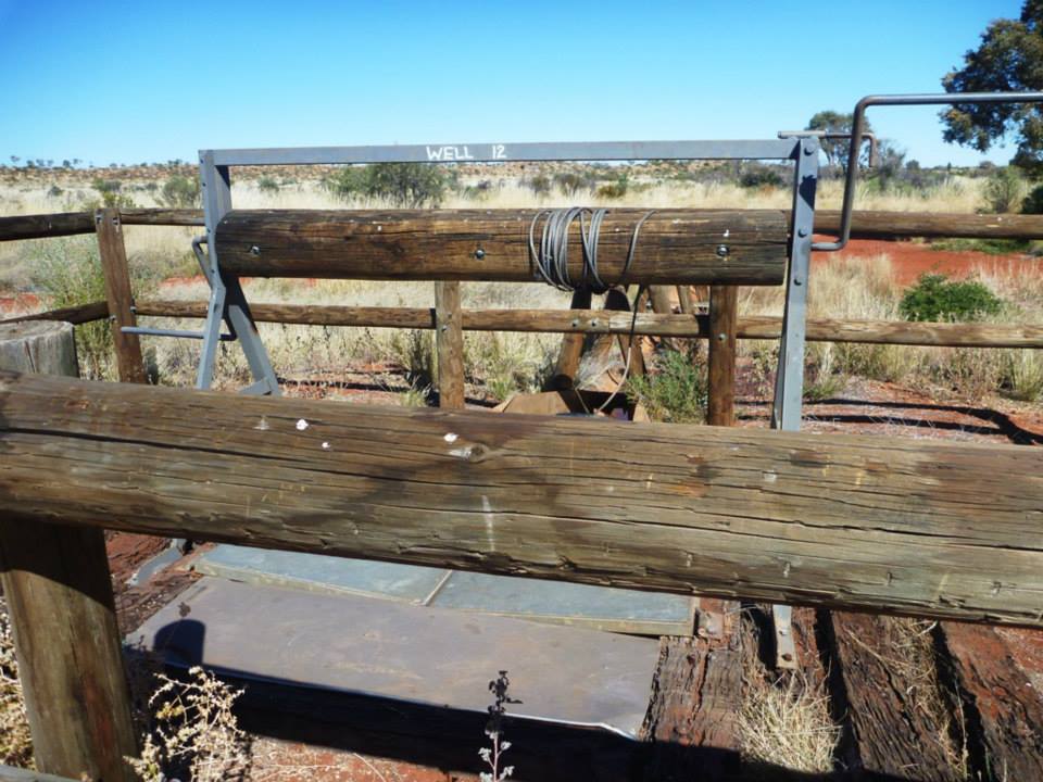
We begin at restored Well 49 before heading south through rocky terrain near Breadon Hills. Along the way, we take short detours to visit nearby wells. At Well 46, there’s a chance to refill water tanks before reaching camp for the night.
158km (B)
The dunes grow as we cross Lake Guli and Lake Tobin. The track twists through the desert before we camp near Well 39.
161km (B)
We leave the Great Sandy Desert and enter the Gibson. It’s a winding day with sandy and rocky sections so your arms will get a workout! We camp at Kunawarritji Community campgrounds and restock fuel and water.
188km (B)
With full tanks and supplies, we head south. The track is rocky until Well 30, where the dunes return.
113km (B)
We refill water at Well 26 then tackle more dunes. The Talawanna Track brings easier driving to Georgia Bore, where we camp for two nights.
0km (B)
Catch up on repacking and washing with a great supply of fresh water today. It’s a good chance to check over your vehicle.
0km (B)
Today serves as a contingency buffer—perfect for catching up or addressing any major vehicle issues. If needed, there’s also the option to head into Newman Township for mechanical repairs or supplies before continuing the journey.
182km (B)
Today’s journey is packed with highlights: we transition from the Gibson Desert into the Little Sandy Desert, reach the striking Lake Disappointment, and cross the Tropic of Capricorn. After tackling more tough sand tracks, we leave the CSR and settle in at Durba Springs for a well-earned two-night break.
0km (B)
Durba Springs offers a stunning free day for exploration. Photographers will be in heaven—towering red cliffs, ancient rock art, and lush greenery make this one of the most photogenic spots on the route.
76km (B)
The final week of the CSR begins. No more free days until Perth. Today’s drive is cruisy, giving us time to soak up the last of the dune country. There’s fresh water at the well to top up our tanks.
71km (B)
Another easy day on the track with plenty of chances to stop and enjoy the quiet. Keep an eye out for camels, as we often spot them in this area.
135km (B)
Approaching Wiluna, signs of civilisation begin to appear. Today’s destination is the scenic Pierre Spring and the beautifully restored Well 6—an ideal campsite offering a peaceful setting to unwind.
126km (B)
We travel through station country with relaxing driving and stunning views. Make the most of this last full day on the Canning before returning to sealed roads and road signs. Tonight’s camp is at the restored Well 3.
138km (C D R)
We reach the end of the CSR. You’ve completed the longest stock route on earth. As we approach Wiluna, phones start pinging with messages and emails. There’s time for an ice cream and a refuel before heading to camp. No cooking tonight – we gather for a home-style dinner.
572km (B)
A long day on good roads with no dunes. We ease back into civilisation as towns and road signs reappear. Our final bush camp is a big one, with stories and memories shared, taking time to appreciate the vast beauty and spirit of this remarkable land.
370km (C D R)
A smooth drive into Perth with a mix of off-road and highway. We stop at Noble Falls for lunch before descending into the suburbs. Tonight we gather for dinner.
0km (C M R)
It’s time to wind down, arrange for the vehicle to be serviced, and plan what to do over the next five days.
Time to unwind, get the vehicle serviced and plan the chapter ahead.
0km (C M R)
Explore the city. Perth is vibrant and full of things to see and do.
0km (C M R)
Take the ferry to Rottnest Island or head south to the Margaret River wine region.
0km (C M R)
It’s time to provision and get organised for the next leg of this epic adventure.
0km (C M R)
Final checks today to make sure everything’s ready for what’s ahead.
419km (C)
A simple highway drive to our overnight camp.
395km (C M R)
We stop in Geraldton for final provisioning and fuel before continuing to camp.
314km (C D R)
After breakfast and a safety briefing, we head to Steep Point, the westernmost location of Australia. We’ll need 4WD and lowered tyre pressure. After photos, we return to Hamelin Bay for dinner.
276km (B)
We leave the coast and head inland through historic sheep country. By mid-afternoon, we reach our camp on the banks of the Murchison River.
256km (B)
Travelling east, we leave the goldfields behind and enter cattle country.
220km (C M R)
We continue west through WA’s gold belt and finish the day in Wiluna with a hot shower and a hearty country dinner.
342km (B)
A full day in cattle country with plenty of wildlife along the way.
0km (C D R)
Catch up on laundry, join a station tour or just relax. We end the day with a great meal at the station.
204km (B)
We travel east along the Gunbarrel Highway, venturing deep into the Gibson Desert. Sand dunes begin to rise around us. We camp under the gums at Geraldton Bore.
158km (B)
It’s tough going today with some challenging sections. Late in the day we turn onto the Heather Highway and camp nearby.
376km (B)
We join the Great Central Road and stop at the Aboriginal community of Warburton to refuel. Then it’s back on the GCR and a stretch of the Gunbarrel Highway.
421km (C D R)
We begin the day with a refuel at the Aboriginal community of Warakurna, then visit Giles Meteorological Station to see the historic grader that carved much of the track we’ve followed. After morning tea, we continue along the Great Central Road to Lasseter’s Cave, where explorer Ernest Giles once sheltered. We stop for lunch here before heading west. By mid-afternoon, the domes of Kata Tjuta rise on the horizon, followed soon after by the unmistakable silhouette of Uluru. We arrive at Yulara Resort in time to settle in and enjoy the evening.
0km (C M R)
Plenty to do here. Drive to The Rock, walk around it or take a scenic helicopter flight.
306km (C M R)
We head east on the Lasseter Highway then north to Kings Canyon. The drive is easy and scenic. We arrive early with time to explore.
228km (C M R)
Start the day with a walk or sunrise photos. We travel through the Macdonnell Ranges and visit a few sights along the way.
128km (C D R)
We visit Standley Chasm, Simpsons Gap and the Alice Springs Telegraph Station before heading into town to refuel and restock. Tonight we gather for a farewell dinner in Alice.
Legend
B – Bush Camp
C – Campground
D – Dinner Provided
M – Meals Available (own expense)
R – Rooms Available (own expense)
Glamping Options
Rooms and meals are available on select nights throughout the tour.
